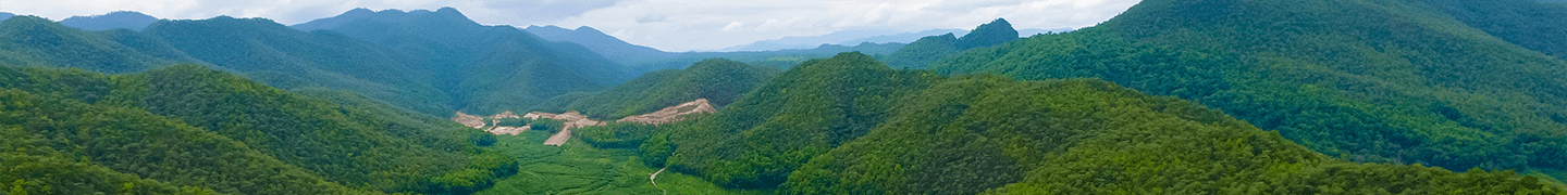
Precipitation that falls over land and seasonal snowmelt find their way to bodies of surface water as surface runoff. If the ground is saturated, frozen, or otherwise impervious to infiltration, liquid water flows downhill, forming larger and larger rivulets until eventually reaching creeks, streams, or rivers, and then heading toward the ocean.
Where or when runoff from rainfall or snowmelt will eventually reach the ocean depends on the location of the watershed. All of the water that falls in a particular watershed goes to the same place. Watersheds and river basins are important because everything that happens upstream, both human-induced and natural, affects the water quality of a river midstream and at the outflow point.
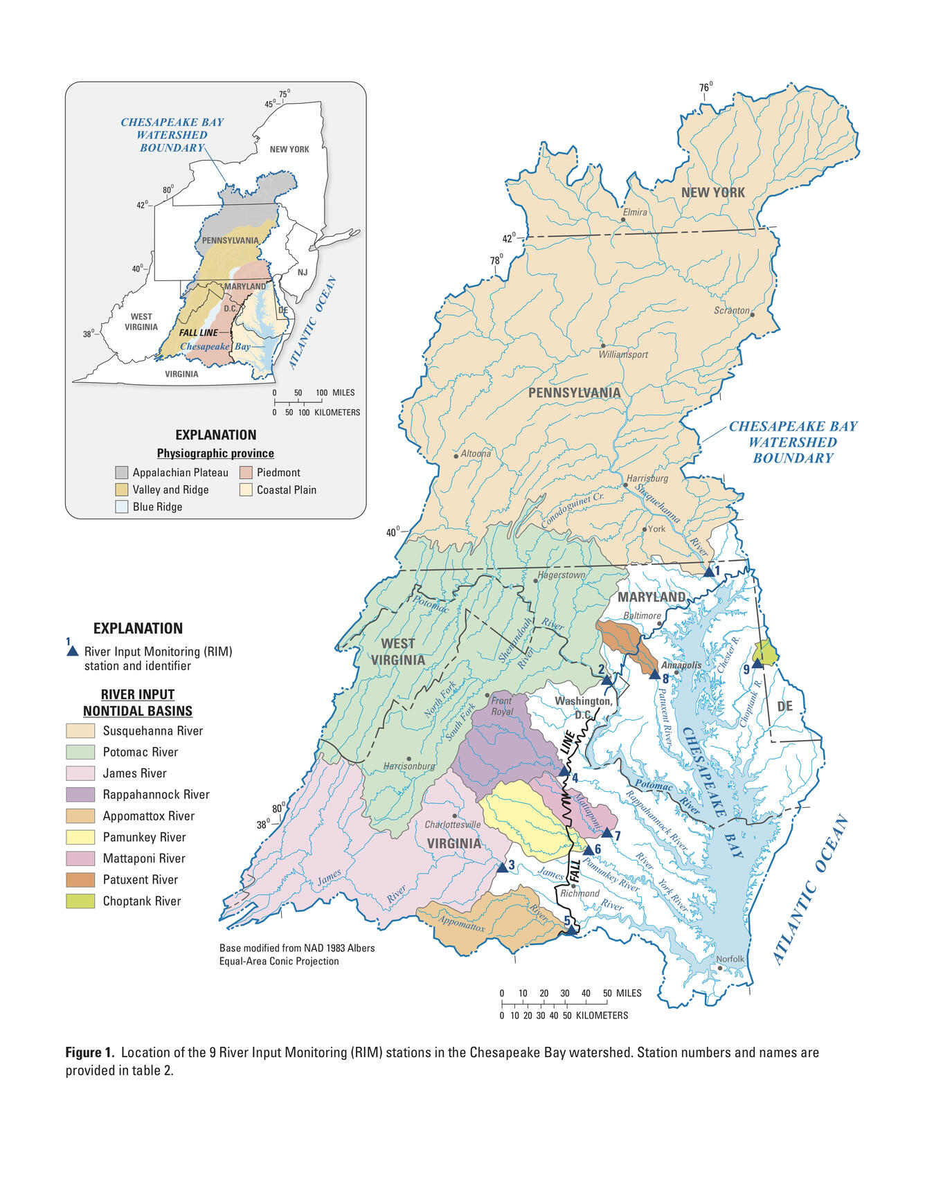
For example, all of the water that falls in the Susquehanna River Basin in New York, Pennsylvania, or Maryland enters the Chesapeake Bay—the Susquehanna River’s valley floor. As shown here by the U.S. Geological Survey image, the Chesapeake Bay (blue) is the tidal portion of the Susquehanna River (watershed shown in light tan).1Chesapeake Bay Activities. (2017 approximate). Chesapeake Bay River Input Summary Figures. U.S. Geological Survey. Retrieved 8/4/2025. https://www.usgs.gov/media/images/chesapeake-bay-river-input-summary-figures.
In 2005 and 2011, American Rivers, an environmental group, named the Susquehanna River the #1 most endangered river in the United States. Pollution can enter the river from a variety of sources, including agriculture, urban and suburban runoff, sewage, and extractive industries, such as mining or oil and gas development. By 2016, this ranking was down to the #3 position as most endangered, and by 2022, the river was off the list of the top 10 endangered rivers in America.2American Rivers. (2016, April 13). Susquehanna River Named #3 Most Endangered. https://www.americanrivers.org/conservation-resource/susquehanna-river-named-third-endangered/3American Rivers. (2022). America’s Most Endangered Rivers. https://www.americanrivers.org/wp-content/uploads/2022/04/MER2022_Report_Final_04062022.pdf. The river’s improved health is making progress under Pennsylvania’s Clean Water Blueprint to reduce stormwater runoff, soil erosion, and pollution from many sources.
Watersheds help conceptualize flows of potential pollutants and how even localized incidents in the energy industry can have widespread effects. One of the first steps in mitigating any kind of environmental incident or problem is a thorough understanding of the associated watershed.

Images: “Watershed” by phichak/Shutterstock.com; “Strahler Stream Order Representation of Rivers” by Robert Szucs