Early seismologic understandings
As with many ancient scientific ideas, early concepts of earthquakes and what caused them can seem quaint and maybe even humorous today. For example, people once thought that underground caves’ exhaling provoked ground shaking. Other people saw the hand of god in the Earth’s disturbances. For example, the Ancient Greeks attributed seismic movement to Poseidon, the god of the sea.
The first people to document an earthquake did so in China in 1177 BCE.1USGS, 2016, Earthquakes in History, https://pubs.usgs.gov/gip/earthq1/history.html (accessed March 9, 2017. However, the instrumentation to accurately record earthquake location and intensity has been in use since just 1904. Our understanding of earthquakes before that relied on human interpretation and written description. Incidentally, Chinese societies also invented the first seismoscope in 132 CE. The bronze device consisted of eight dragons positioned around an urn poised to drop balls into eight frogs’ mouths if shaken. It wasn’t particularly useful except in identifying the direction from which the seismic waves traveled, according to apocryphal accounts.
The strongest measured earthquake since the development of accurate instruments occurred in Chile in 1960. The Valdivia earthquake magnitude was 9.5 on the MMS.2Richard Pallardy, 2010, “Chile Earthquake of 1960,” Encyclopedia Britannica, https://www.britannica.com/event/Chile-earthquake-of-1960 (accessed March 9, 2017) The deadliest earthquake in modern times was in China in 1976; the Tangshan earthquake killed about 250,000 people.3Live Science Staff, 2005, “Deadliest Earthquakes in History,” Live Science, http://www.livescience.com/6932-deadliest-earthquakes-history.html (accessed March 9, 2017)
Why should we want to know anything about past earthquakes? This information helps us establish a baseline for natural seismic activity and estimate the likelihood of future earthquakes in a given area.
Earthquake Locations
Because earthquakes release pressure built up along fault lines, it should come as no surprise that most earthquakes originate along tectonic plate boundaries. A quick glance at a map of major earthquakes illustrates this fact because the locations of earthquakes line up with the dozen or so major plate boundaries that comprise Earth’s lithosphere.
Not all plate boundaries are equal, however. We can sort the plate boundaries into three broad categories: divergent (moving apart), convergent (moving together) and transform (sliding past each other). Rifts, with common normal faults, occur at divergent boundaries. Molten rock rising into these rifted areas contributes to plate movement by pushing the plates apart. Subduction (one plate sliding under another) occurs at convergent boundaries. Volcanoes and thrust faults (low angle reverse faults) are a common result of this process. The pull of the descending plate also contributes to plate motion. Visible fault lines often accompany transform boundaries. The San Andreas Fault is a well-known example in North America.
Earthquakes are likely at boundaries of any type. Divergent and transform boundaries tend to produce shallow earthquakes, whereas convergent boundaries produce both shallow and deep earthquakes. Earthquakes are by no means limited to plate boundaries, though. Because the composition of Earth’s tectonic plates has changed over geologic time, former plate boundaries are now within plates. These weakened zones are also susceptible to seismic activity and are the locations of intraplate earthquakes.
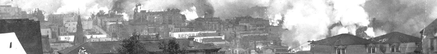
Images: “1906 San Francisco” by Ralph Hotz/USGS