Surface geologic mapping is a good place to start, because it allows geologists to develop a general geologic model for an area. However, it is often useful to supplement surface mapping data with remotely detected data from the subsurface. This is where geophysical techniques come in.
Reflection Seismology
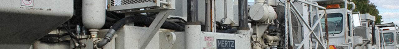
One of the most common techniques is known as reflection seismology. In this technique, the seismic waves created by a controlled explosion, specialized truck or other source of energy are recorded by a series of geophones as the waves reflect off of underground rock layers. The seismic signals from the geophones are processed by a computer to create a model of underground rock units based on changes in density.
A seismic survey can be conducted on land and in marine environments, and it can map units up to 10 km beneath the earth’s surface. The results of a seismic survey look like this:

An experienced geologist can interpret seismic profiles, delineating different rock layers and geologic structures:
Seismic surveys have become increasingly important as oil and gas extraction has moved into offshore areas, where traditional geologic mapping is impossible.
Gravity Surveys
Gravity surveys detect minute changes in the gravity exerted by the earth. Such changes occur when large bodies of abnormal density are present in the subsurface. For example, in the oil and gas industry, salt domes can serve as traps. Since salt has a much lower density than most rocks, its presence can be detected as a region of abnormally low gravity.

The greatest strength of gravity surveying methods is that, unlike seismic methods, their effectiveness doesn’t depend on the seismic properties of rocks at depth. While seismic signals may be greatly weakened or stopped by regions of low acoustic energy transmittance, gravity signals can always detect the influence of rocks at great depth.
The major weakness of gravity surveying is that there are an infinite amount of models that can be developed to explain gravimeter readings. Thus, the primary usefulness of gravity methods lies in providing additional data that allows geologists to refine models they have already built based on other data.
Magnetic Surveys
Magnetic surveys, which are usually conducted from airplanes, provide a map of the magnetic field of a particular region. Certain magnetic minerals, such as magnetite, cause changes in this field. Since certain rock types contain more magnetic minerals than others, magnetic surveys can help constrain the geologic structures underlying a region.

All of the geophysical and remote sensing techniques above help geologists refine their cross sections and come to a better understanding of what’s going on underground.

Images: “Thumper Header” by Pennsylvania State University for Top Energy Training ; “Black and white seismic profile with color interpretation” by USGS; “Texas Bouguer Gravity Anomaly Map” by USGS; “North American Magnetic Anomaly Map” by USGS